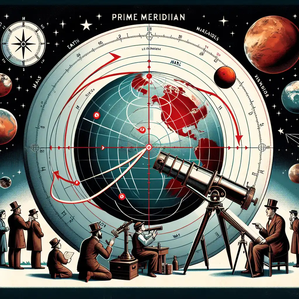
Longitude
noun
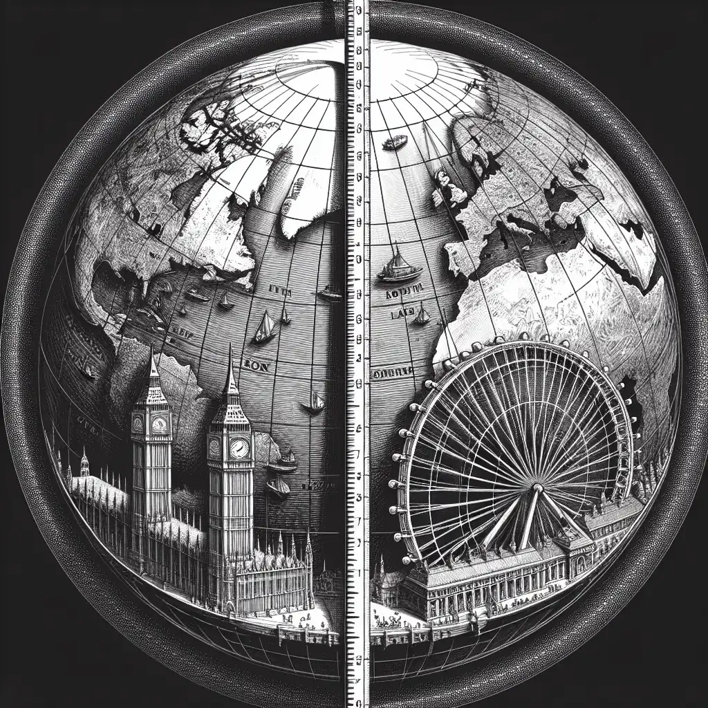
Longitude is an imaginary line on the earth's surface that goes from the North Pole to the South Pole.
The city of London is located at 0 degrees longitude.
Often appears as...
- prime meridian longitude
- longitude coordinates
Usage tips
Technical
Definition 1 of 2
Geographic Grid
Longitude is part of a grid system used to pinpoint locations on Earth.

To find a place, combine its longitude with its latitude.
Measure of Distance
One degree of longitude varies in actual distance depending on where you are on the globe.

Degrees of longitude are closer together near the poles.
Time Zones
Longitude is related to time zones, with each zone generally spanning 15 degrees of longitude.

Countries adjust their clocks based on their longitude.
Compare with
meridional
Never forget "Longitude"
Humans forget easily. That's why you should download WordUp: Smart reminders, word games, AI practice, and much more!


WordUp Chrome Extension
As you browse the web instantly look up words you don’t know.
Get Chrome Extension