Isobar
noun
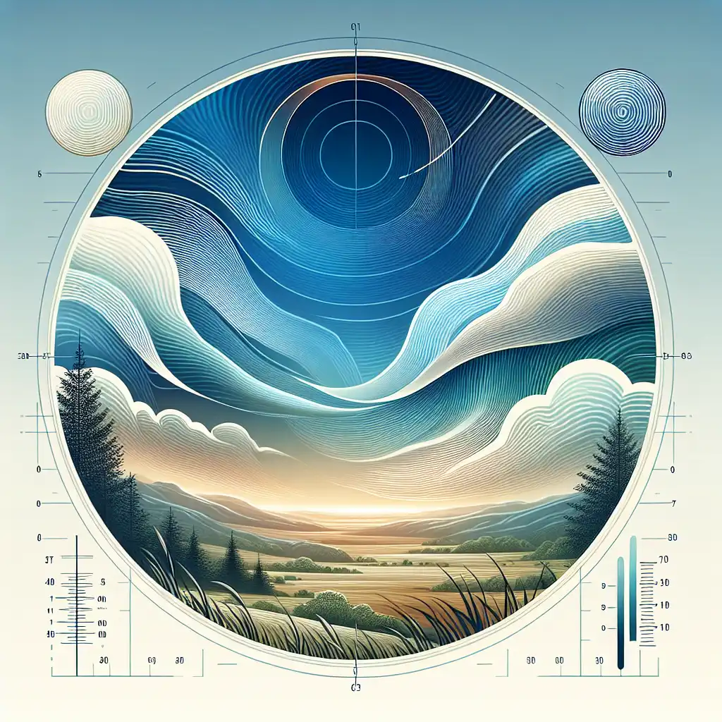
In geography, a line drawn on a map connecting points having the same atmospheric pressure at a given time or on average over a given period.
Weather forecasters use isobars to predict the wind speed and direction.

Often appears as...
- draw an isobar
- isobar map
Usage tips
Technical

Definition 1 of 2
Weather Prediction
Isobars help forecast weather, indicating if it’s likely to be windy or calm.

Meteorologists can predict storms by analyzing the isobar patterns on the map.
Close Isobars
Isobars that are close together on a map show areas of high wind speeds.

The isobars on the weather map are so close, it's going to be a windy day.
Pressure Systems
Isobars form patterns that identify high and low pressure systems on maps.
A low pressure system is surrounded by concentric isobars on the atmospheric map.
Compare with
isotherm
Never forget "Isobar"
Humans forget easily. That's why you should download WordUp: Smart reminders, word games, AI practice, and much more!


WordUp Chrome Extension
As you browse the web instantly look up words you don’t know.
Get Chrome Extension