Mercator
noun
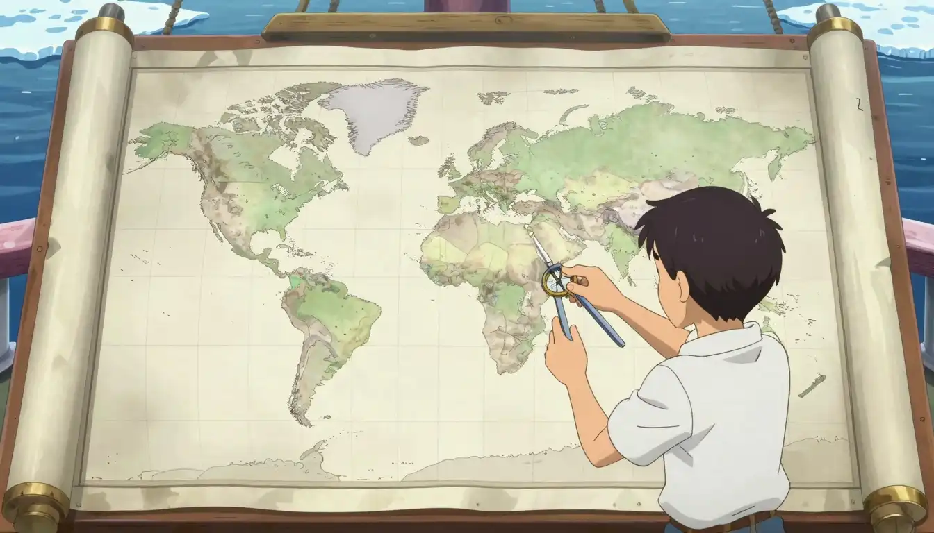
A type of map projection that represents continents and oceans with straight lines, useful for navigation but distorting sizes near the poles.
The Mercator projection is commonly used in marine maps for its ability to maintain accurate angles.
Often appears as...
- Mercator map
- Mercator projection
Usage tips
Formal
map projection, cylindrical projection, navigation map

Definition 1 of 2
Mapping Techniques
Understanding how a Mercator map distorts distance can help in navigation.

In navigation, the Mercator map keeps angles intact but stretches land areas near the poles.
Geography Context
In geography classes, the Mercator projection is often discussed due to its ascribed utility and drawbacks.

Be aware of how Mercator affects perceptions of size on a world map.
Historical References
Researching the origin of the Mercator projection can enrich your understanding of its historical significance.

Historical maps using the Mercator projection show the world as it was once understood.
Never forget "Mercator"
Humans forget easily. That's why you should download WordUp: Smart reminders, word games, AI practice, and much more!


WordUp Chrome Extension
As you browse the web instantly look up words you don’t know.
Get Chrome Extension